The development of an extensive wildfire in the hill area characterized by grazing grouds and Mediterranean trees has resulted in the involvement of infrastructures for the distribution of electricity.
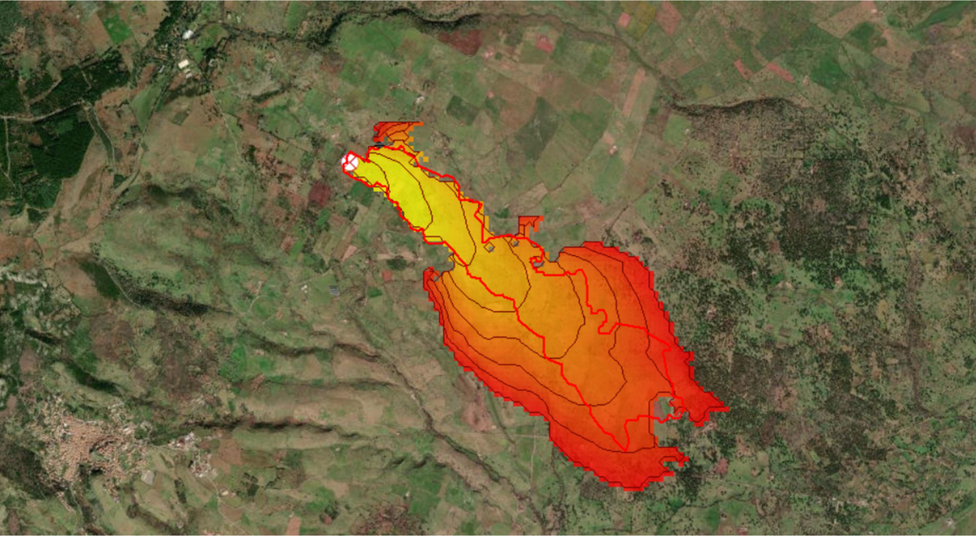
The reconstruction of the fire spreading dynamics, necessary in order to identify the different possible scenarios of fire origin and propagation, had to consider the severity of the weather conditions encountered (characterized by strong wind) and the peculiarity of the natural environment. This analysis was conducted using the internationally validated WildFire Analyst software tool specifically intended for the study of forest fires, as described by the numerous peer-reviewed references available.
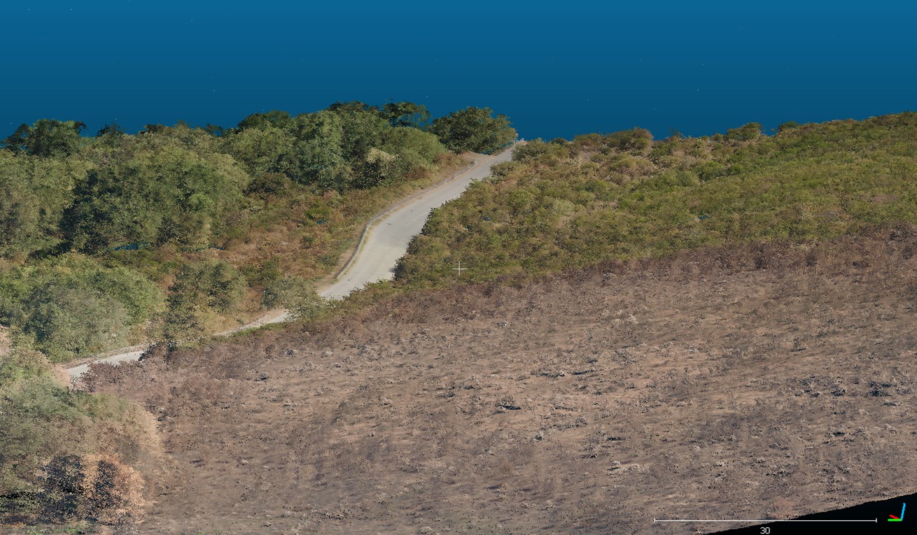
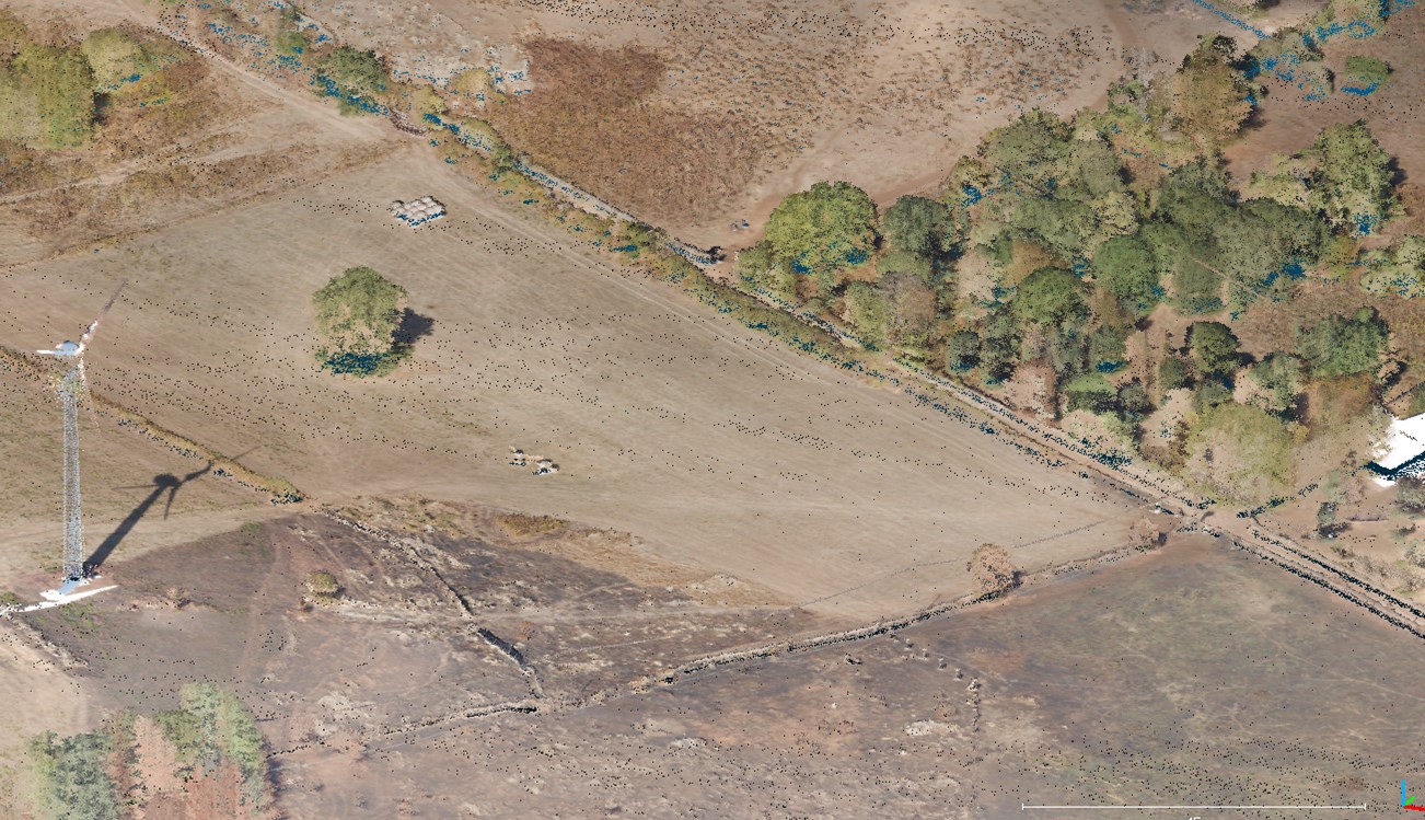
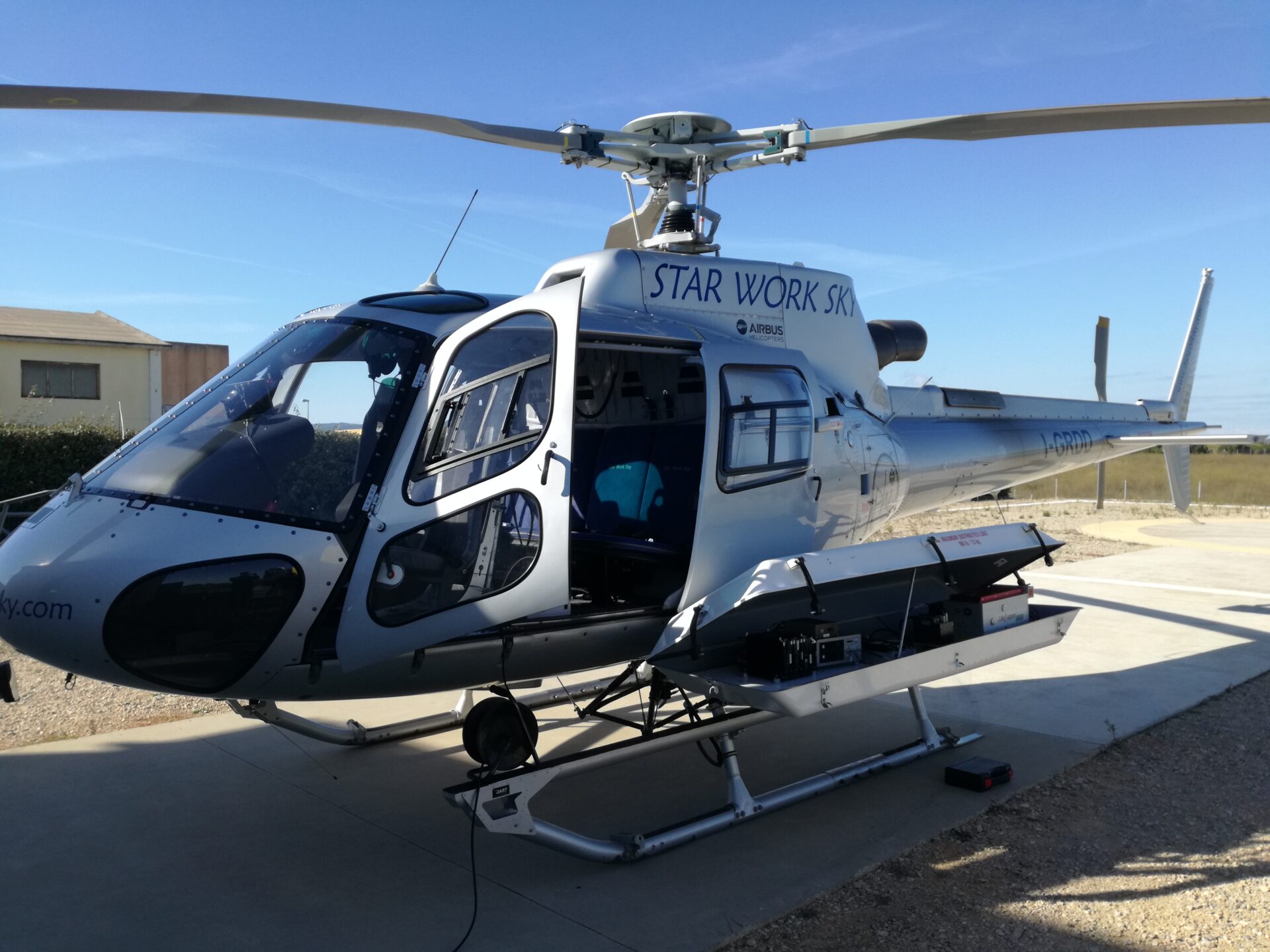
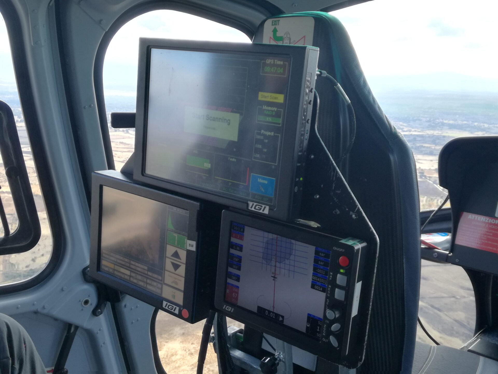
With the aerial survey of the area it was possible to derive the perimeter of the fire and the orography of the entire area, detected by helicopter-borne LiDAR laser scanner equipment.
The evolution of the fire determined as a result of the simulations was compared with the evidence found in the field, validating the hypothesis of the location of the origin of the fire.


